Today I spent the day playing tourist in Hobart. In the morning I headed down to Salamanca Market, an open air market held every Saturday. Vendors were selling wood carvings, used books, jewelry, chess sets, meat pies, baked goods, T-shirts, children’s toys, plants, honey, jams, photography, felt hats, crocheted scarves, lead soldiers, woolen products, lavender products, wind chimes, fossils, glassworks, and lots more. Lots of musicians, including a group with someone juggling flaming torches. And lots of people to talk to. One vendor was probably in his mid 60s and had been born in England. Had strong feelings about war, Bush, Blair, and John Howard (Australia’s PM). About 30 years ago, he had set out in a truck from England and spent 3 years driving through Europe to the Middle East and Afghanistan and India and China and Burma and to Australia, and I don’t remember where else. That's definitely a journey you couldn't do today. I also met someone who was selling some beautiful photography of some of the areas I’d been (much better than mine), but it was a bit too expensive.
The day alternated between brief showers and sun, so it was put the sunglasses on, take the sunglasses off. Put the rain jacket on, take the rain jacket off. Typical Tassie weather.
I walked back up to my B&B after making a number of purchases and packed my gear, wanting to find out if I needed to purchase another bag. (No, everything fits.) Then I spent the rest of the day wandering around Hobart. Had a delicious dinner at a restaurant where the host came out to each table and guest and explained every item on the menu and how it was prepared. Everything sounded so good it was hard to decide what to pick!
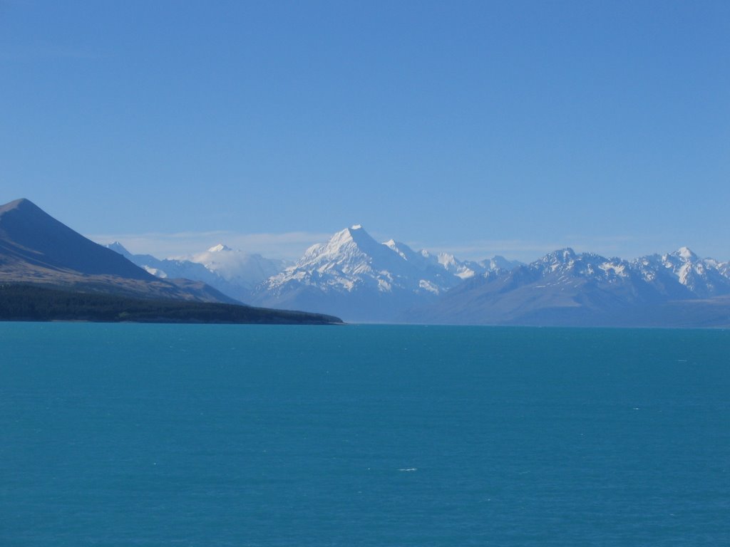
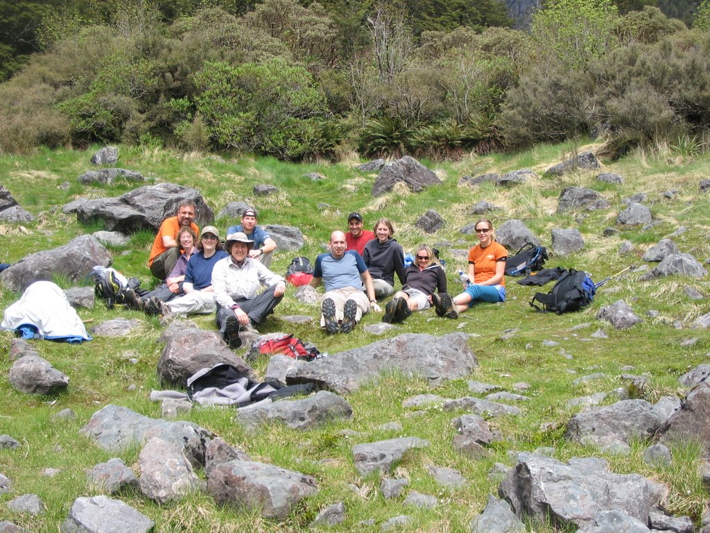
And then it was back to the B&B for the evening, getting ready to leave tomorrow. What an incredible month this has been. New Zealand, with its mountains and kayaking, unique places to stay and a great group to travel with. The Overland Track in Tassie, which was an amazing journey in a time when most of us don’t have the chance to spend 6 days walking with another wonderful group of people. A week on my own wandering around a beautiful country with a lot of history. The weather wasn’t always cooperative, but that’s the way the weather is in this part of the world at this time of the year. They call it the Roaring Forties, for the latitude. (Head south towards the Antarctic and you'll find the Furious Fifties and Screaming Sixties.)
I have been impressed by the Kiwi and Tassie people I’ve met. They have been self reliant and good natured, and have a deep love for their respective islands. People on both islands seem from the outside to have a lower level of gratuitous consumption than the US, which is a good lesson for us. They’ve managed to avoid many of the more egregious habits of the US, such as billboards and (to a large extent) mega mansions. Although there are huge ongoing battles with respect to the environment in Tassie (and some of the battles have been lost, such as damming rivers and logging old growth forests), much has been protected. Both countries are proud of their environment and their high quality local produce and cheeses and wine and chocolates and other products, and love to introduce their guests to these items.
It has been a very special time, and I’m grateful that I had the opportunity to take a trip like this. As I’ve traveled, I’ve also pondered the environmental impact of traveling. One of the things we learned on the REI trip is that starting in 2007, REI is going to be carbon neutral. That means (among other things) buying carbon offsets for its Adventure travel. Given the high environmental impact of plane travel, that’s something I’m going to look into when I get home. I don't think carbon offsets will "solve the problem" of global warming, but they are part of the search for answers.
Thanks to anyone who’s still reading this for coming along. I’ve enjoyed sharing my journey with my family and friends. Here’s to sharing our many journeys yet to come. Cheers!
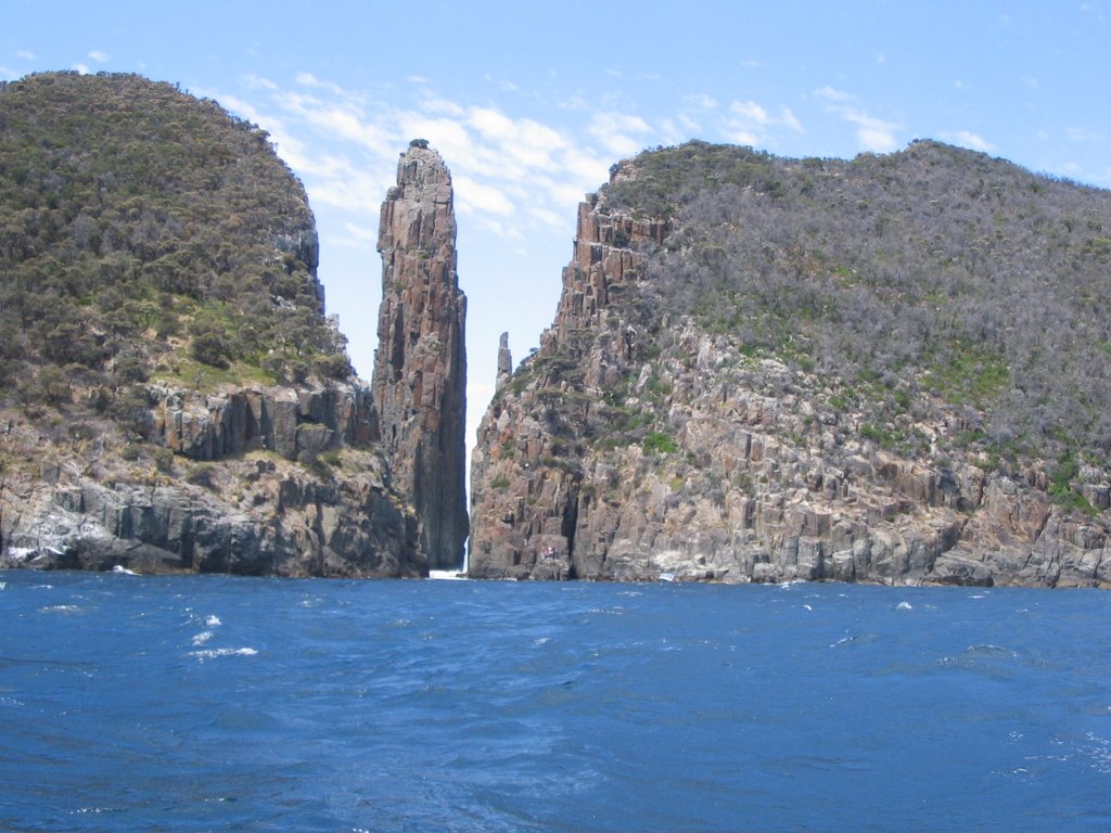
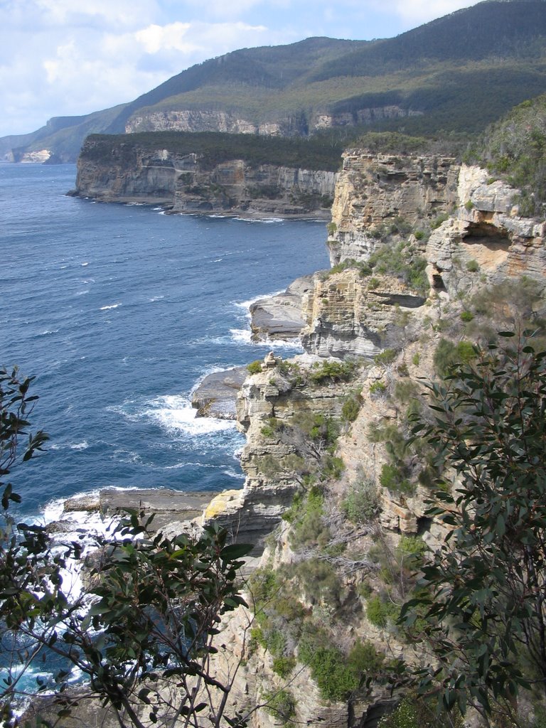
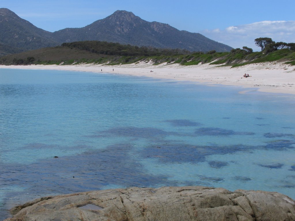
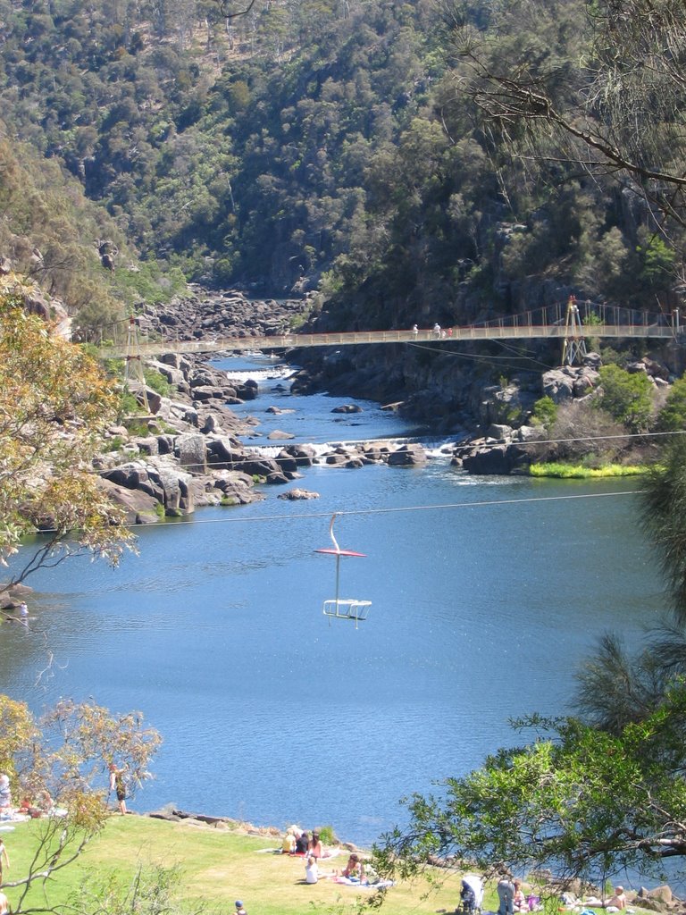
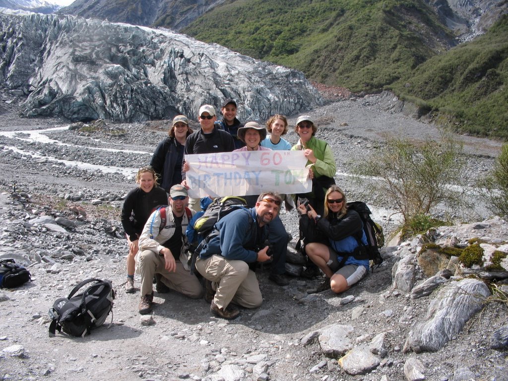
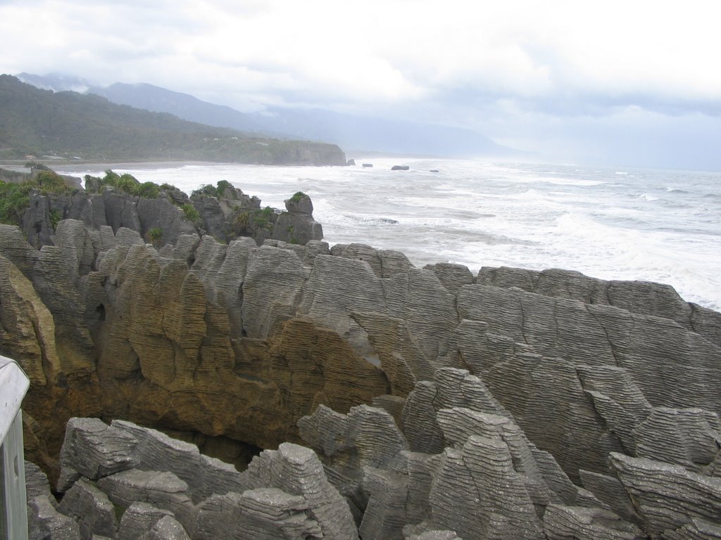
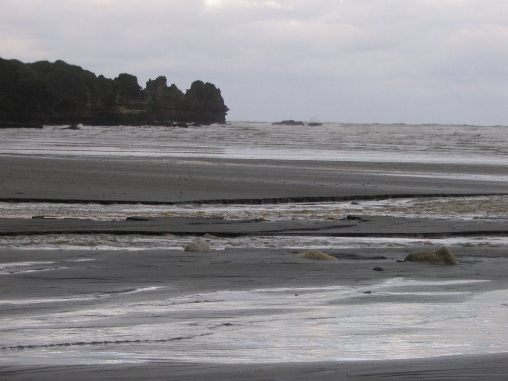
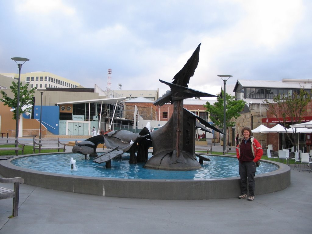
Today's pictures are here.